Web-based viewers for BIM, GIS, and 3D spatial data
TSVIDEV renders IFC/BIM models, point clouds, drone 3D Tiles, and GIS maps in the browser using WebGL, Cesium, and OpenLayers — accessible via URL without desktop software.
Point Cloud Web Viewer
Point cloud data is typically large (GB-scale). TSVIDEV converts and streams point clouds via Potree octree indexing and WebGL rendering.
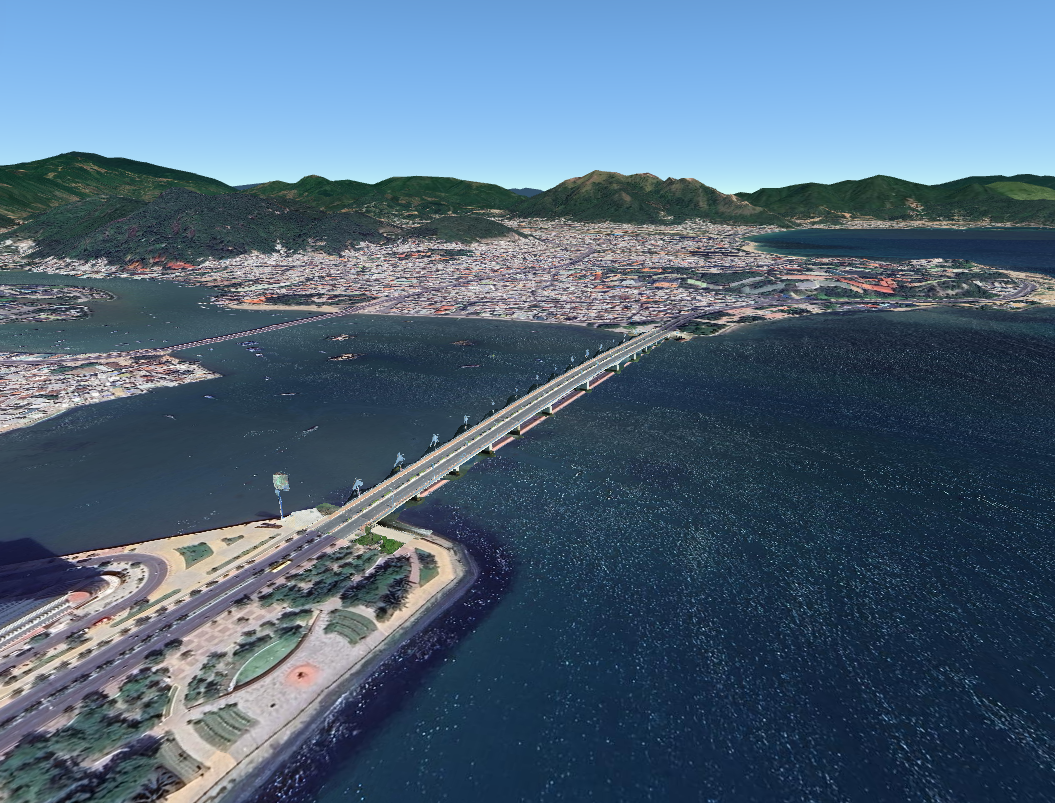
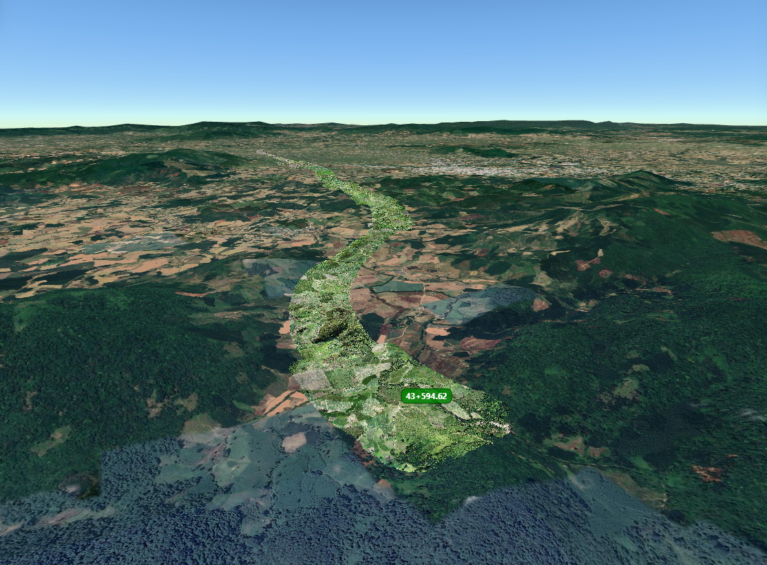
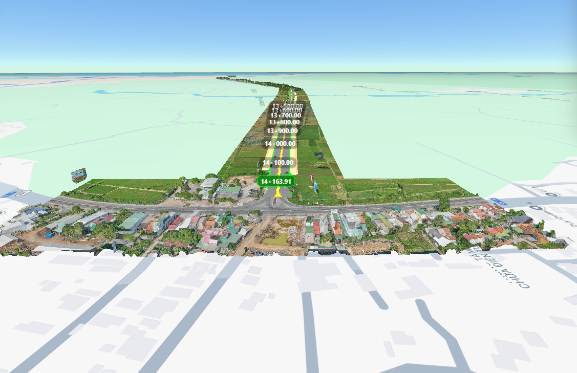
Drone 3D Tiles Web Viewer
Drone models and terrain data are streamed to the browser via Cesium, supporting geospatial viewing and URL-based sharing.
IFC Viewer Online — BIM on the Web
TSVIDEV converts IFC to 3D meshes via IfcOpenShell and renders them in Three.js, enabling browser-based BIM model viewing without desktop software.
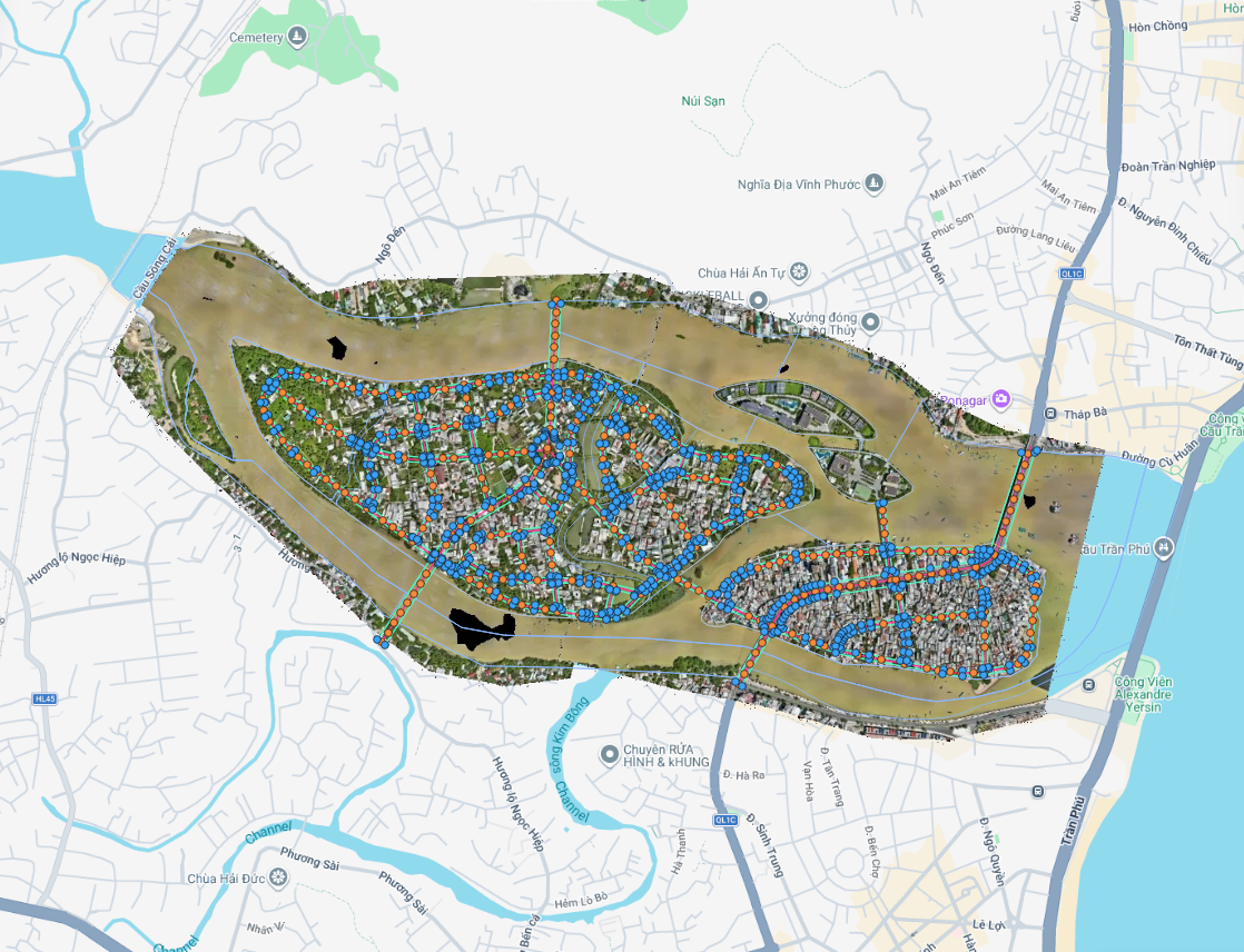
GIS Viewer on the Web
GIS vector data is rendered directly in the browser via OpenLayers — supporting layer toggle, attribute inspection, and per-layer styling.
About TSVIDEV
Open-Source Stack
Built on Three.js, Cesium, OpenLayers, Potree, and IfcOpenShell.
URL-based Sharing
Each project generates a unique URL for browser-based access.
Access Control
Per-project permissions, visit tracking, and data protection.
Multi-Format Support
IFC, GLB, Point Cloud, 3D Tiles, GIS, CSV — rendered in a single system.
Learn More About TSVIDEV
Visit the homepage to explore projects and the latest features.
Go to TSVIDEV Home